
COVID-19 Coronavirus Map | USA Locations Of Reported Cases

Map locations of reported cases COVID-19 Coronavirus in the Untied States.
I will keep this updated each week for your potential interest. COVID-19 reported case locations in the United States.
Note that the most recent Coronavirus map will be up to two weeks behind that of “true” actual cases. Why? Because COVID-19 incubation is up to 2 weeks. Therefore maps and data will always be behind by that approximate amount of time relative to “true” real-time numbers.
[ Read: Mind Blowing Exponential Growth and Pandemic Parallels ]
Presently as of this update Friday morning, at least 12,392 people across every state, plus Washington, D.C., and three U.S. territories, have tested positive for coronavirus.
The actual “true” cases that exist on a given date compared with confirmed tested cases (the map) on any given date – is presently much, much greater (~ 2 week incubation lag plus hyperbolic curve). And it will remain that way if and until drastic social distancing measures take effect – due to the very high contagion of this virus (R0 – pronounced ‘R-naught’).
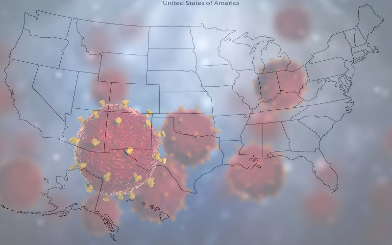
USA Map of COVID-19 Coronavirus Locations
(Where cases have been reported)
Images: source: The New York Times
3/20/2020 USA Coronavirus Map

3/13/2020 USA Coronavirus Map

3/6/2020 USA Coronavirus Map

[ List: Articles on Modern Survival Blog: keyword – coronavirus ]